Previous Episodes
- January 2025
- December 2024
- November 2024
- October 2024
- September 2024
- August 2024
- July 2024
- June 2024
- May 2024
- April 2024
- March 2024
- February 2024
- January 2024
- December 2023
- November 2023
- October 2023
- September 2023
- August 2023
- July 2023
- June 2023
- May 2023
- April 2023
- March 2023
- February 2023
- January 2023
- December 2022
- November 2022
- October 2022
- September 2022
- August 2022
- July 2022
- June 2022
- May 2022
- April 2022
- March 2022
- February 2022
- January 2022
- December 2021
- November 2021
- October 2021
- September 2021
- August 2021
- July 2021
- June 2021
- May 2021
- April 2021
- March 2021
- February 2021
- January 2021
- December 2020
- November 2020
- October 2020
- September 2020
- August 2020
- July 2020
- June 2020
- May 2020
- April 2020
- March 2020
- February 2020
- January 2020
- December 2019
- November 2019
- October 2019
- September 2019
This episode we are diving into the archaeology of Izumo, focusing on Izumo as well as other areas in the “Izumo Cultural Zone” that shared many common archaeological features. Here in Part 1 we’ll talk about the geography of the cultural zone and some of the unique aspects of Izumo, including its architecture and the peculiar “four-cornered burial mound” that is such a distinctive shape and influences later mounded tombs in the area. We’ll look at a few of the Yayoi settlements and finds, and take it right up to the end of the Yayoi, during the reign of Queen Himiko.
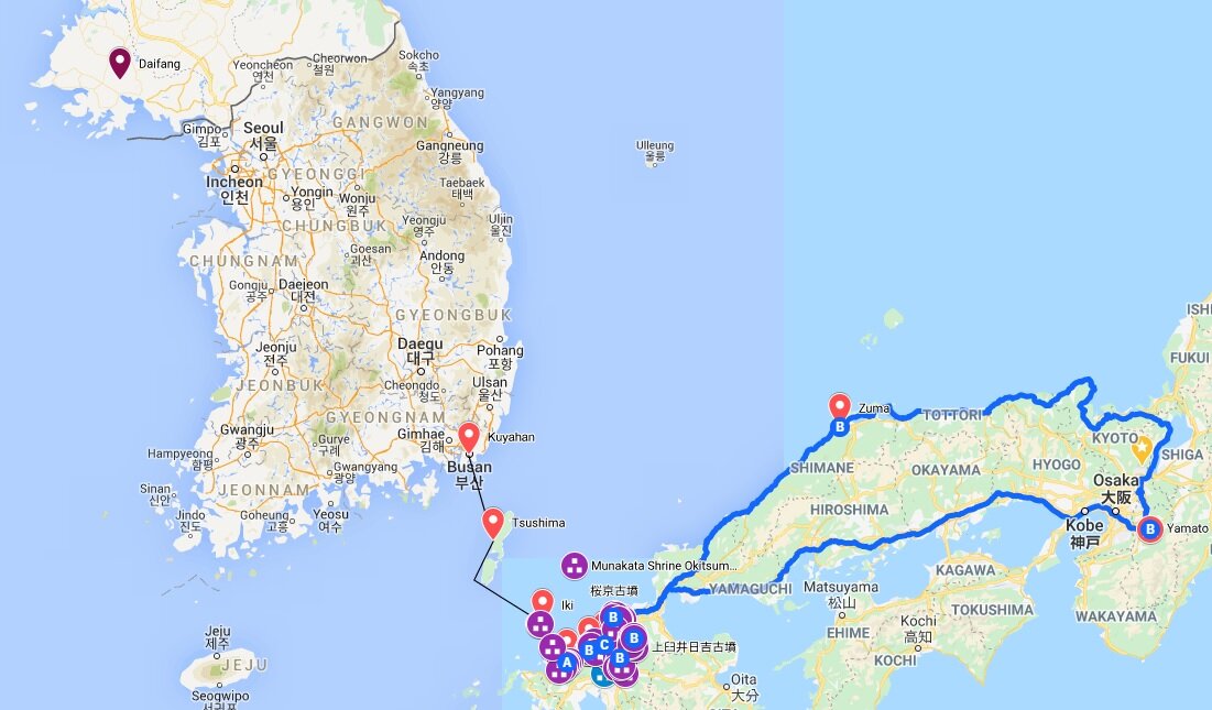
Below is a map that may be helpful for following along with the narrative or looking up various places. Viewing the terrain can be particularly helpful. Also, in many cases you can zoom in via the satellite features and see some of the settlements and tombs that are still there or that have been reconstructed.
Areas of the Izumo Cultural Zone:
Western Izumo and the Izumo: Including Mt. Sanbe to modern Izumo city, between the Kando and Hii rivers, including the Izumo Plain.
Eastern Izumo: Modern Matsue on the Ou plain between lake Shinji and Nakaumi, and Yasugi on the Nogi Plain, south of Nakaumi.
Western Tottori: Modern Yonago, on the Hino River, west of Mt. Daisen.
Central Tottori: Modern Kurayoshi, on the Tenjin River, east of Mt. Daisen
Eastern Tottori: Modern Tottori on the Chiyo River.
Koshi: Hokuriku Region, including modern Fukui, Ishikawa, and Toyama prefecture.
Oki Islands: Including Dōgojima, Nakanoshima, Nishinoshima, and Chiburijima
In addition, you may want to reference Miyoshi, in modern Hiroshima Prefecture.
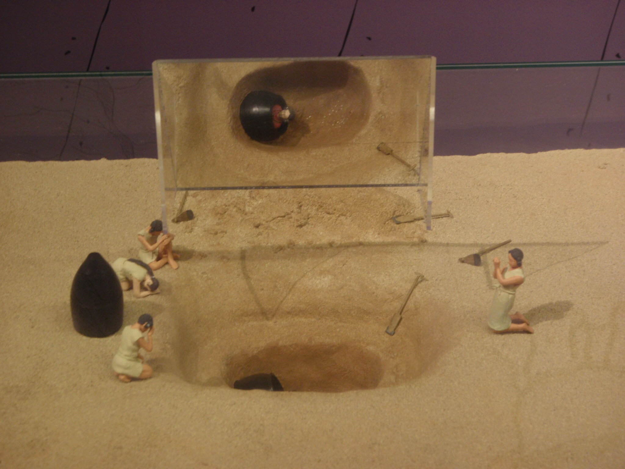
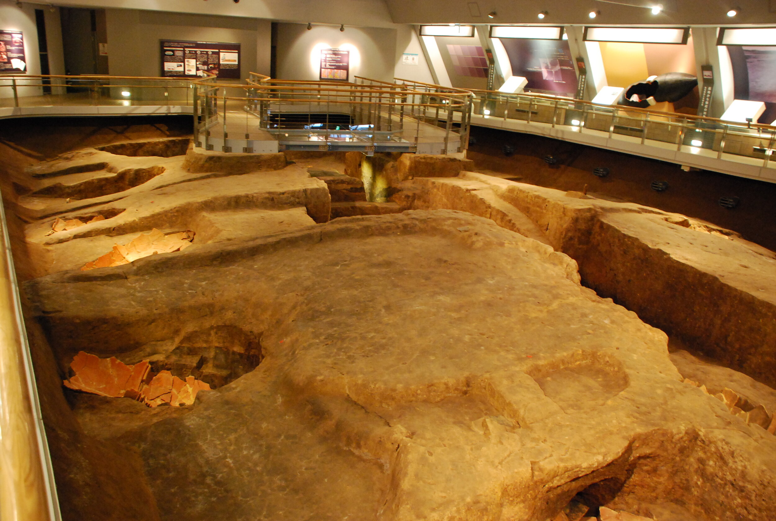
For a better look at those four cornered mounds, here is a model and information plaque from the Rekihaku Museum—the National Museum of Japanese History in Sakura. You can see the distinctive shape, and the fact that there are multiple burials inside each mound, as opposed to later mounded tombs that are usually for only one or two occupants.
References
-, - (Visited 6/13/2020) Archaeological Museum of Kojindani. http://www.kojindani.jp/iseki/index.html
-, - (Visited 6/13/2020). 四隅突出型墳丘墓. http://houki.yonago-kodaisi.com/F-K-kohun-4sumi.html - Visited 6/13/2020
De Boer, Elisabeth; Yang, Melinda A.; Kawagoe, Aileen; Barnes, Gina L. (2020). Japan considered from the hypothesis of farmer/language spread. Evolutionary Human Sciences (2020), 2, e13, pp1-20. http://doi.org/10.1017/ehs.2020.7
TORRANCE, Richard (2016). The Infrastructure of the Gods: Izumo in the Yayoi and Kofun Periods. Japan Review, (29), 3-38. Retrieved from http://www.jstor.org/stable/44143124
Nojima, Hisashi (2015). Emergence and Development of Burial Mounds in the Yayoi Period, as noted in excavations at the Satadani, Satadao Burial Mound Group, Hiroshima Prefecture <Research and Studies at the Department of Archaeology: Article>. Hiroshima University bulletin of the Department of Archaeology, Issue 7, p1-12. http://doi.org/10.15027/38458
Carlsqvist, Anders (2010). The Land Pulling Myth and Some Aspects of Historic Reality. Japanese Journal of Religious Studies 37/2: 185-222. Nanzan Institute for Religion and Culture. Accessed 4/22/2020 at https://nirc.nanzan-u.ac.jp/nfile/3016
Sakamoto, Toyoharu (2010) 。『矢野遺跡: 新内藤川改修工事に伴う埋蔵文化財調査報告書』。出雲市の文化財10。出雲市教育委員会。http://doi.org/10.24484/sitereports.19709
Kidder, J. Edward (2007), Himiko and Japan's Elusive Chiefdom of Yamatai: Archaeology, History, and Mythology. ISBN: 978-0824830359
Harada, Toshiteru, et al (2003) 。『板屋III遺跡 2 縄文時代~近世の複合遺跡の調査』。志津見ダム建設予定地内埋蔵文化財発掘調査報告書。 http://doi.org/10.24484/sitereports.2383
松井、潔 (2003)。「四隅突出型墳丘墓」。鳥取県埋蔵文化財センター。http://www.pref.tottori.lg.jp/secure/76301/yosumi.pdf
Piggott, J. (1997). The Emergence of Japance Kingship
Piggott, J. (1989). Sacral Kingship and Confederacy in Early Izumo. Monumenta Nipponica, 44(1), 45-74. doi:10.2307/2384698
Piggott, Joan (1989). Sacral Kingship and Confederacy in Early Izumo. Monumenta Nipponica, 44(1), 45-74. doi:10.2307/2384698


